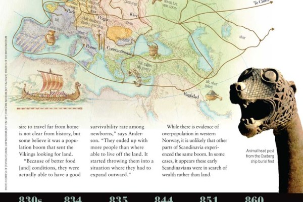
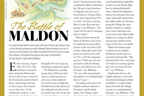
Dave Stevenson created these two map illustrations for the March 2012 issue of Viking magazine. One of the maps shows the routes the Viking used for trading goods throughout Europe and Central Asia. The other map shows the location of The Battle of Maldon, which took place in the south of England and was fought by the Anglo-Saxons and the Vikings. Dave created both illustrations in his signature style using pen & ink and gouache:
 |
| Dave Stevenson – Map illustration of Viking Trade Routes |
|
|
|
 |
| Dave Stevenson -The Battle of Maldon |


Posted By
Jennifer Vaughn
Categories
Dave Stevenson, illustration, maps